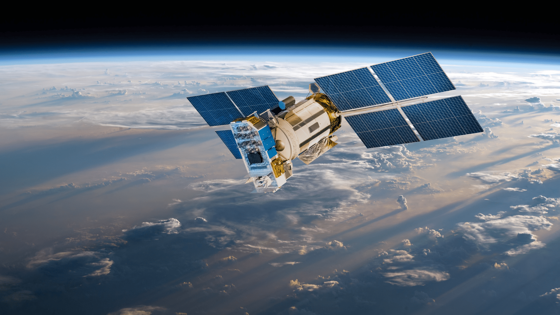
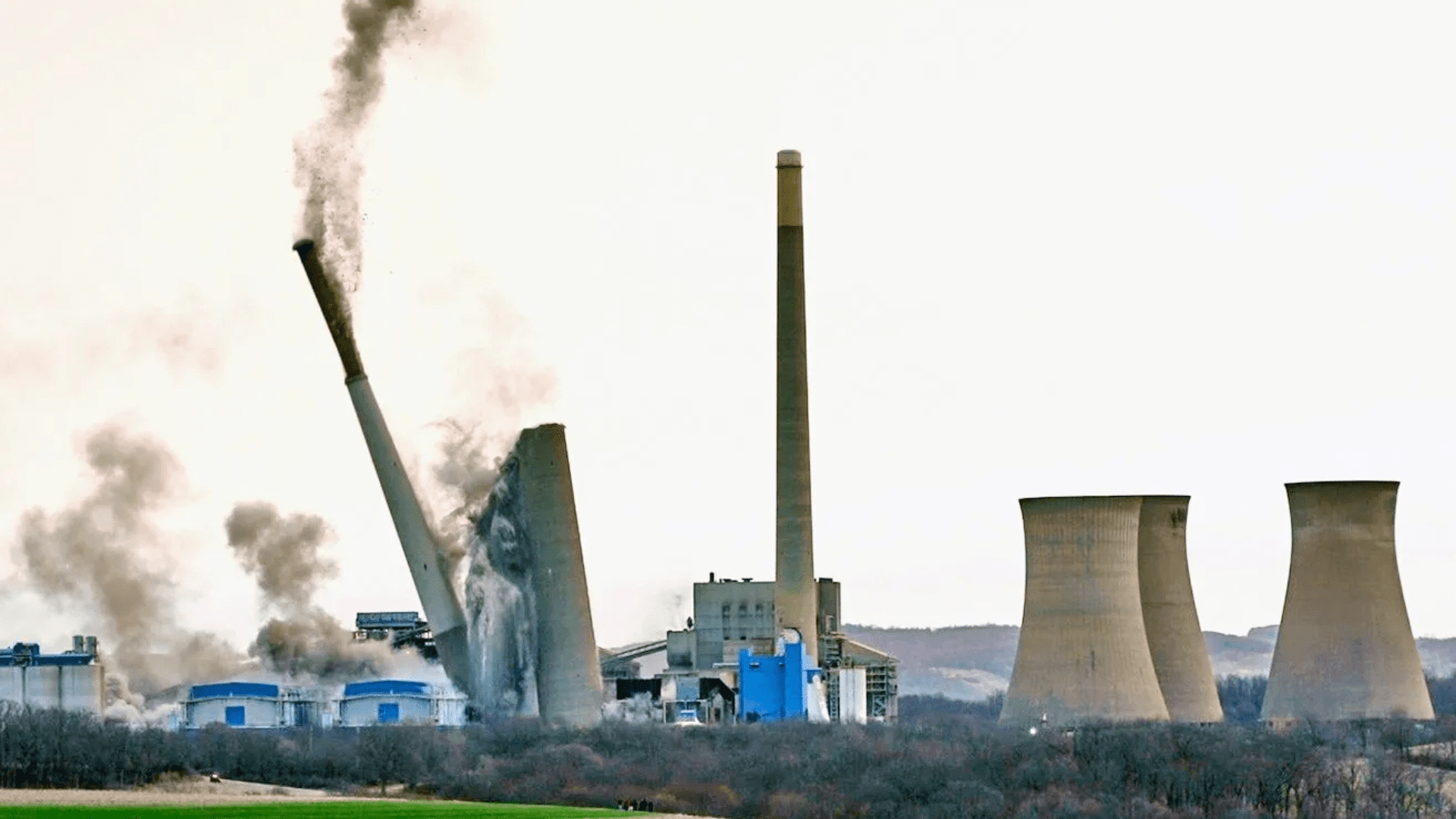
Satellite imagery has changed how we observe and predict changes on Earth, providing valuable insights to governments, businesses, and the public. With fast improvements in artificial intelligence and a growing amount of satellite data, these images have transformed from simple pictures into tools for prediction. Nowadays, AI analysis looks for early signs of geopolitical changes, environmental shifts, and potential crises, reshaping how we understand and respond to changes in the world. Let’s discover how space imagery is transforming our understanding of the planet.

Exploring the World Through Satellite Imagery
Satellite imagery has evolved beyond simple photographs from space. Today’s satellites can gather data beyond what the eye can see, providing valuable information in various areas. For instance, near-infrared images are crucial for farmers. By studying many up-to-date satellite images, they can accurately assess crop health and soil moisture, helping them make informed choices that boost production and save resources. This ability to “see the invisible” with near-infrared light helps farmers detect early signs of stress or nutrient issues that are invisible to the human eye.
In addition to agriculture, longer-wavelength thermal infrared imagery is vital for monitoring heat sources and can see through smoke, which is essential during wildfires. This technology allows firefighters to locate active fire fronts even when visibility is low, potentially protecting lives and property.
Another significant tool is synthetic aperture radar (SAR). It uses radar waves to create clear images regardless of weather or lighting, making it perfect for continuous surveillance. This is particularly beneficial in areas with frequent cloud cover or during emergencies when quick action is needed.
While drones and aerial photos have their uses, satellites provide a distinct advantage with their global coverage. They can capture images from hard-to-reach places, whether due to isolation, conflict, or legal issues. For example, pipeline operators can study satellite images to spot unauthorized activities in difficult areas. A satellite observation can identify a potential gas pipeline breach, allowing timely intervention.
Satellite imagery reveals hidden insights, empowering industries, governments, and individuals to see and respond to important information. A prime illustration of an effective remote sensing platform is EOSDA LandViewer. Let’s explore what makes it exceptional.
A New Era in Land Monitoring with EOSDA LandViewer
EOSDA LandViewer is a powerful geospatial platform that makes satellite images and Earth observation data easily accessible. Its simple interface and robust analysis tools allow anyone, from agricultural experts to city planners, to explore extensive satellite data collections. This helps users understand land use, environmental changes, infrastructure development, and more. Whether you are looking for real estate, monitoring crop health, or evaluating the effects of a recent wildfire, EOSDA LandViewer simplifies the process of seeing and understanding global changes.
The platform provides access to an impressive satellite database, including high-resolution images from leading sources like Sentinel-2, Landsat, and Gaofen. Users can also buy ultra-high-resolution images (up to 30cm) for detailed views sourced from specialized satellites like TripleSat, SuperView, and KOMPSAT. With support for over 20 indices and band presets, EOSDA LandViewer empowers users to gain highly tailored insights, making it a trusted tool across industries.
Key features of EOSDA LandViewer include time-series analysis, which allows users to track historical changes and forecast future trends, and dynamic time-lapse animations that visualize data stories — ideal for presentations or social media. Users can download imagery with metadata for easy integration with third-party tools like QGIS and ArcGIS for deeper analysis. EOSDA LandViewer is more than a catalog of the best satellite imagery; it’s a key to understanding our world in near real-time.
Satellite imagery has transformed from a curiosity into an essential resource for decision-making. With AI and high-resolution data, space imagery reveals our current situation and guides us to where we need to go next.
This article is prepared/contributed by EOS Data Analytics. All reviews and opinions expressed in this post are not based on the views and opinions of Tomorrow’s World Today.
Author: Peter Kogut – Petro Kogut has a PhD in Physics and Mathematics and is the author of multiple scientific publications. Among other topics, he focuses on satellite imagery processing and application in his academic research. Currently, Prof. Dr. Petro Kogut also works as a science advisor.


